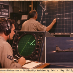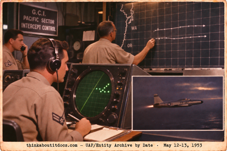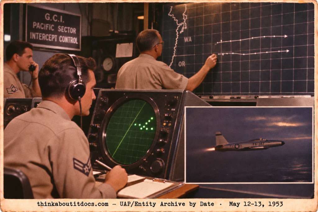
May 12-13, 1953: two unknown radar tracks over the Pacific Northwest.
THINK ABOUTIT UFO|UAP SIGHTINGS REPORT
1953: The Pacific Northwest Washington and Oregon Radar Tracks
From 0415Z to about 0636Z on May 13, 1953 (8:15 p.m. to about 10:36 p.m. PST on May 12), air defense radar and interceptor radar over Washington and Oregon tracked two slow unknown targets at about 6,000 feet. Three scrambled flights found nothing visually.
The 25th Air Division report said it could not evaluate the tracks and reached no firm conclusions. Project Blue Book’s card nonetheless lists the case as radar interference due to inversion.
Date: May 12, 1953 (tracks on May 13, 0415Z to 0636Z)
Sighting Time: 8:15 p.m. to about 10:36 p.m. PST on May 12 (0415Z to about 0636Z, May 13)
Day/Night: Night
Location: Pacific Northwest, off the Washington and Oregon coast, tracked by GCI station P-57 and others
Urban or Rural: Not applicable (radar over water and coast)
No. of Entity(‘s): 0
Entity Type: Not Applicable
Entity Description: Not Applicable
Hynek Classification: Not Applicable
Duration: 2 hours 21 minutes
No. of Object(s): 2 tracks (B-97-G and B-14-G); the card does not state a number of objects
Description of the Object(s): Unknown radar tracks from the Pacific ADIZ; several blips on air-intercept and ground radar
Shape/Size/Color of Object(s): Not applicable; no visual contact was made
Distance to Object(s): Pronto Red got lock-ons on a group of targets 12,000 to 15,000 yards out
Height & Speed: About 90 knots (B-97-G, heading about 340 degrees) and about 80 knots (B-14-G, heading about 30 degrees), at a constant 6,000 ft
Number of Witnesses: Radar crews and aircrews (Capt S.D. Tate and 2nd Lt D.L. Rodgers in Pronto Red; Capt D. Jarrett in Pronto Blue; 1st Lt A. Young in Pronto White); no visual observers
Special Features/Characteristics: None of the 5 aircraft got a visual; a 6-degree temperature inversion at 1,500 to 1,700 ft MSL; Neah Bay station never painted the unknowns; weak CW transmissions on 500 kcs near Westport, WA
Case Status: Radar interference due to inversion: Project Blue Book card conclusion. The 25th Air Division report said it was unable to further evaluate the tracks and reached no firm conclusions.
Source: Project Blue Book file 6384863 (25th Air Division (Defense) report on unknown tracks B-97-G and B-14-G, prepared by Maj Neil A. Vosburgh; Tate and Rodgers statements; Blue Book summary card); Dan Wilson
Summary/Description: Air defense radar tracked two unknown targets at about 6,000 ft, at 80 to 90 knots, for 2 hours 21 minutes over the Pacific Northwest. Three scrambles found nothing visually. The Air Division could not evaluate them; Blue Book listed inversion effects.
Related Cases: None known
Detailed Report
The 25th Air Division (Defense) report covers Unknown Tracks B-97-G and B-14-G on May 13, 1953 and was prepared by Maj Neil A. Vosburgh. B-97-G began in the Pacific ADIZ at 0415Z, heading about 340 degrees at 6,000 feet and about 90 knots, with constant altitude and speed. Pronto Red, one AI-equipped aircraft with Capt S.D. Tate and 2nd Lt D.L. Rodgers, was scrambled and got no visual; Sixpence White, two non-AI aircraft, was vectored. The GCI director was Capt D.V. Jensen at station P-57; plots run from 0415Z to 0514Z.
B-14-G began at 0456Z heading about 30 degrees at 6,000 feet and about 80 knots. Pronto Blue (Capt D. Jarrett) and Pronto White (1st Lt A. Young, 317th FIS, who aborted with radar trouble) found nothing, and plots run to about 0636Z.
Tate and Rodgers reported many AI radar contacts and lock-ons on a group of targets 12,000 to 15,000 yards ahead and overshot at 180 to 200 knots. They believed the contacts were chaff or sea return. Boats in the area were picked up easily.
The report weighed other factors: Coast Guard sea swells of 9 to 4 feet; no visuals by three Coast Guard vessels; a Tillamook balloon; weak CW transmissions on 500 kcs near Westport, WA, which the operator thought were homing or rendezvous technique from three transmitters; a B-25 search by Maj Deckert; and a 6-degree temperature inversion at 1,500 to 1,700 feet MSL measured by the Tatoosh Island radiosonde.
The discussion says plots and station personnel suggest airborne objects, but the Neah Bay station’s failure to pick them up refutes that somewhat. The conclusion reads: “This Headquarters is unable to further evaluate these tracks.” Blue Book’s card lists radar interference due to inversion, with the note that inversion effects were on all radar in the area.
RESEARCHER’S NOTES
The Pacific Northwest Tracks: Two Slow Targets and No Visual
- Two conclusions: The Air Division could not evaluate the tracks. Blue Book’s card chose inversion effects. The file shows both positions.
- Constant slow tracks: Both tracks held constant altitude and speed (6,000 ft; 80 to 90 knots) for about an hour each, which is not the usual look of inversion clutter.
- The failed visual: Five aircraft in three flights went to the tracks and none saw anything, though Pronto Red’s radar locked onto targets repeatedly.
- The crew’s own view: Tate and Rodgers believed they were seeing chaff or sea return, and boats in the area were picked up easily.
- Station disagreement: Neah Bay never painted the unknowns, which cuts against a real airborne object.
- The 500 kcs transmissions: Weak CW signals near Westport were thought to be homing or rendezvous technique; the file does not tie them to the tracks.
- No Hynek class: This is a radar-only report, so no Hynek class applies.
Two slow, steady radar tracks drew three scrambles and no visual, and the Air Division would not call them. Blue Book later settled on inversion effects; the file keeps both views.
“This Headquarters is unable to further evaluate these tracks”
— 25th Air Division (Defense) report